I like to do something big, and solo for my birthday. My annual bike ride to Roanoke is not going to happen this year, and with my focus on running, I decided to try something I had never done before.
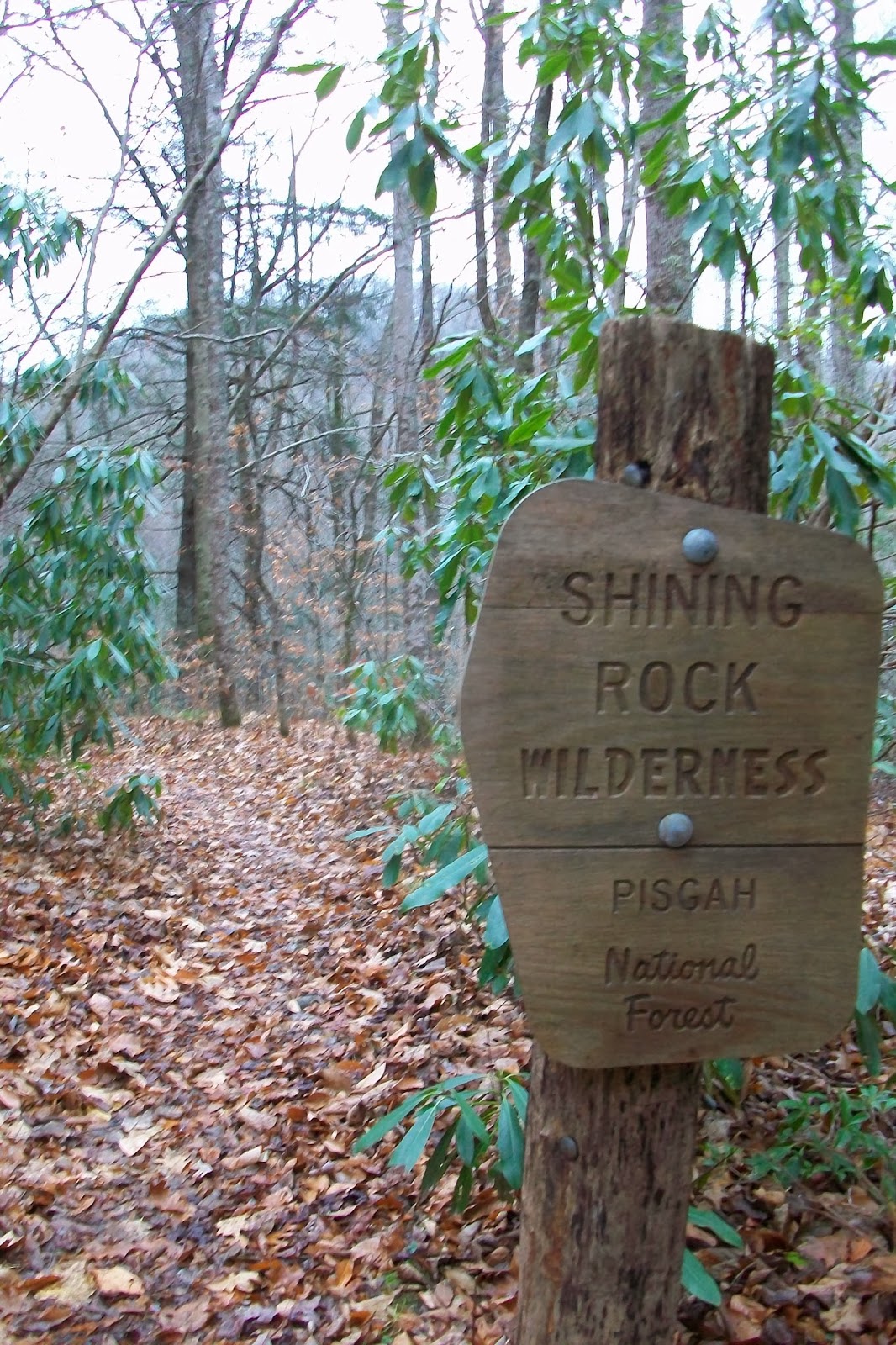
My goal was to hike up to Shining Rock, but after looking at the map and remembering that it was only 3.6 miles one way, I decided to take the long way around. The week before the weather was looking amazing, with a forecast low of 50 on Saturday night and a bright moon hanging in the sky. I was really thinking about hiking in Saturday evening after the kid's soccer game. It would be an interesting hike. But then the weather got cloudy and chilly, then rainy so I decided to sleep in my warm bed.

After a quick stop at a gas station for snack foods and another stop at Breuggers for a bagel, I drove up to the Big East Fork Trailhead, parked and started hiking. I was wearing shorts and a short sleeve wool shirt. It was chilly enough that I was shivering but I knew that I would warm up as soon as I got up the trail. The Big East Fork Trail is not marked and sometimes hard to follow. I ended up crossing the river once, thinking the trail had crossed, and then had to cross back when I spotted the trail back on the other side. Wet feet and all, I wasn't worried. I was almost wishing it were hot out, so many swimming holes along this river! Gotta come back this summer.
I continued walking, looking at the map about every 30 minutes. I wasn't sure how fast I was going or how far I had gone. I could estimate, but had a nagging feeling that I had missed my turn on the Greasy Creek Trail. I figured I would just keep hiking and if I had missed the turn, I would simply hike a bigger loop than planned.
After a little less than 2 hrs, I found the trail across the river, a faint line heading up into the trees. I followed the trail, the shrubs had been recently trimmed and I felt like I was making good time. The skies still overcast, the air getting cooler as I got higher, I could now hear the wind, higher up on the ridge ripping through the tree tops.
I fully expected to be exposed and get lambasted while on the Art Loeb Trail. I briefly got off trail again, bushwhacked, looked at the map, crossed the creek and found the trail again. I kept climbing, hoping the clouds would break, knowing that the views up here were amazing. I spotted an overlook on the Blue Ridge Parkway, but then the clouds closed in again.
On up to the ridge and the Art Loeb Trail, the wind was whipping. I pulled on my rain jacket and stayed warm enough. There were only a couple of exposed parts, but most of the trail was protected by an assortment of trees. Hearing the wind whining just inches above my head and barley feeling the effects of the wind, was pretty cool.
I was excited to make my goal. This place is special to me for a lot of reasons. I climbed to the top of the giant piece of slippery granite, and looked around, took a couple of pictures then climbed down, not wanting to get chilled. A quick lunch of PB&J and Coke, and I headed down Shining Creek Trail. The 3.6 mile trail went by quickly. The mist turned in bigger rain drops as descended into the valley. I made it to the truck right as it started to rain.
I climbed into the truck, tired, satisfied and wishing I had planned a bigger loop.... 5 hrs and 20 minutes, roughly 11 miles. Great way to celebrate the last day of being a 40 yr old!
How long is the Art Loeb Trail?
 .
.


1 comment:
That is one of my favorite loops.
Post a Comment